Hiking in Naxos, Greece: Mount Zas and the Best Trails on the Island
Naxos is the only major Cycladic island worth hiking on. The others are too small, too flat, or too focused on beach tourism to offer much beyond a seaside stroll. Naxos has a 1,004-metre peak, a network of marble-paved village trails, ancient Kouros statues lying in their quarries, and Byzantine churches in olive groves that most visitors drive straight past. Hiking in Naxos Greece is not a secondary activity. For the right kind of traveller, it is the main reason to come.
Quick Info
| Info | Details |
|---|---|
| Best hike | Mount Zas hike Naxos, 1,004m summit |
| Classic route distance | 5.6km return, 2.5 to 3 hours |
| Circular route distance | 12.8km, 5 hours 20 minutes |
| Difficulty | Classic: moderate. Circular: hard/technical |
| Best season | April to May and September to October |
| Summer hiking window | Before 09:00 or after 17:00 only |
| Guided hike | Mount Zas guided hike with picnic — small group, pickup included |
| Car rental | Book a car in Naxos for trailheads and village routes |
| eSIM | Get an eSIM for Greece — GPS apps need data before you set off |
| Where to stay | Where to Stay in Naxos — full hotel guide |
Mount Zas: The Highest Peak in the Cyclades
Mount Zas is named for Zeus, Zas being the local dialect version. A fourth-century BC inscription near the cave on the ascent reads: boundary of Zeus. Few hikes in Greece come with written confirmation like that.
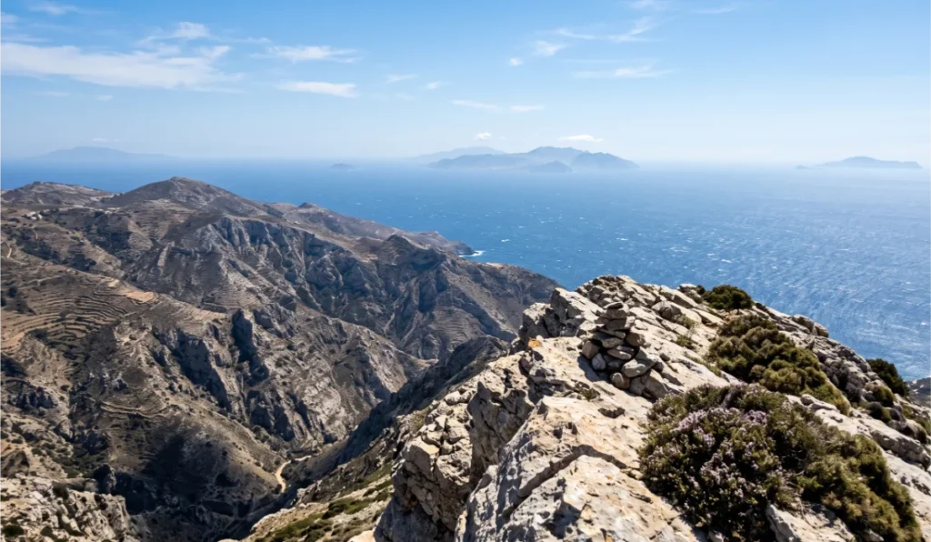
The mountain sits at 1,004 metres, the highest point in the Cyclades. On a clear day, six or more islands are visible from the summit. The route choice matters more than most guides explain.
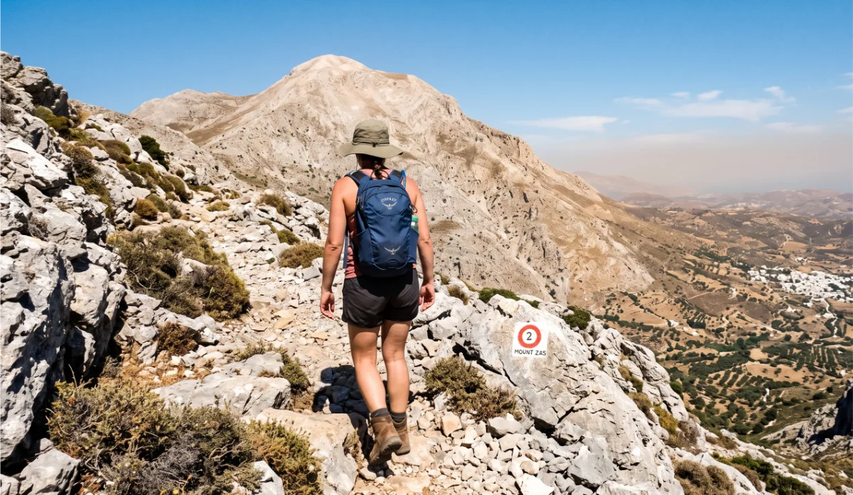
The classic route starts at the Agia Marina chapel in Danakos village. The path is well-marked, moderately steep, and covers 5.6 kilometres return in two and a half to three hours. No water source along the way. Bring more than you think you need.
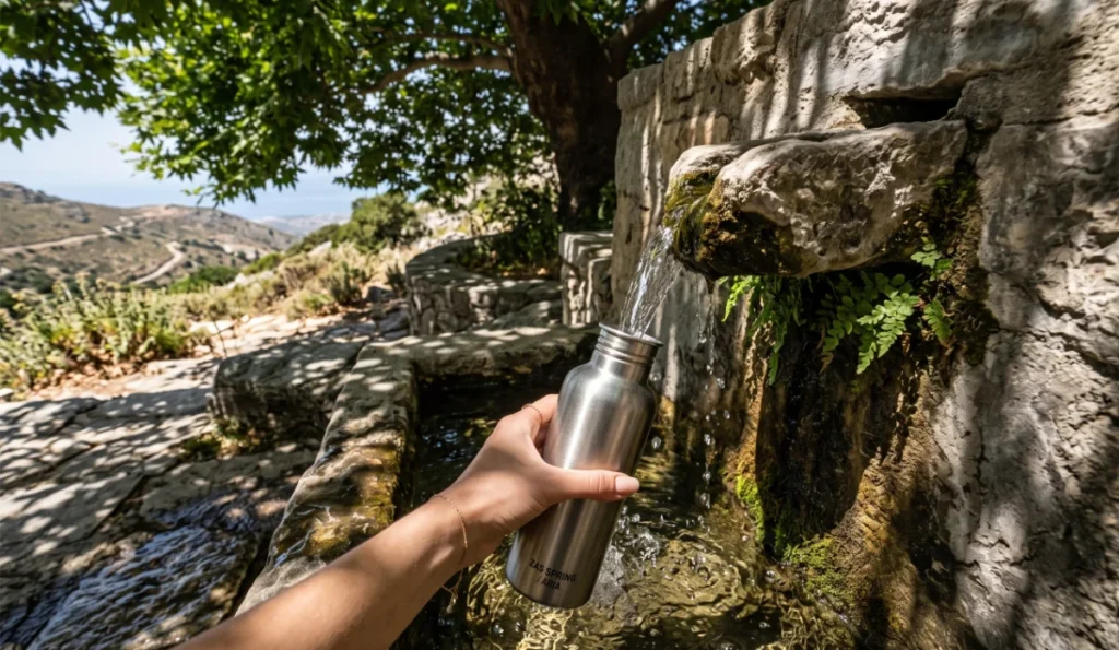
The circular route via Filoti, Aria Spring, and the Zas Cave covers 12.8 kilometres in around five hours twenty minutes. I chose this route on my second full day. Aria Spring to the cave is straightforward. The cave itself is the highlight, a low dark chamber with the Zeus inscription carved above the entrance. After the cave, the trail becomes steep and loose very quickly. Sections where hands are needed. Harder than expected. The views from the top were worth every scramble. Save energy for the descent.
A guided hike to the summit runs from around $99 per person and includes pickup, a picnic at the summit, and a guide who knows where markings fade. For first-timers, this is the right choice.
Village Trails: Walking Between Naxos’s Hill Towns
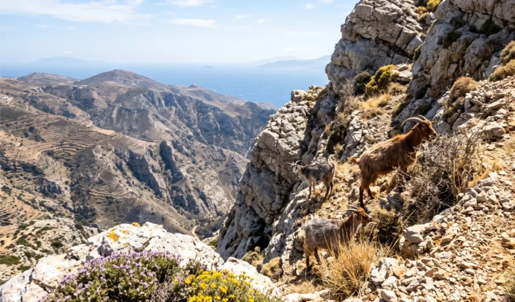
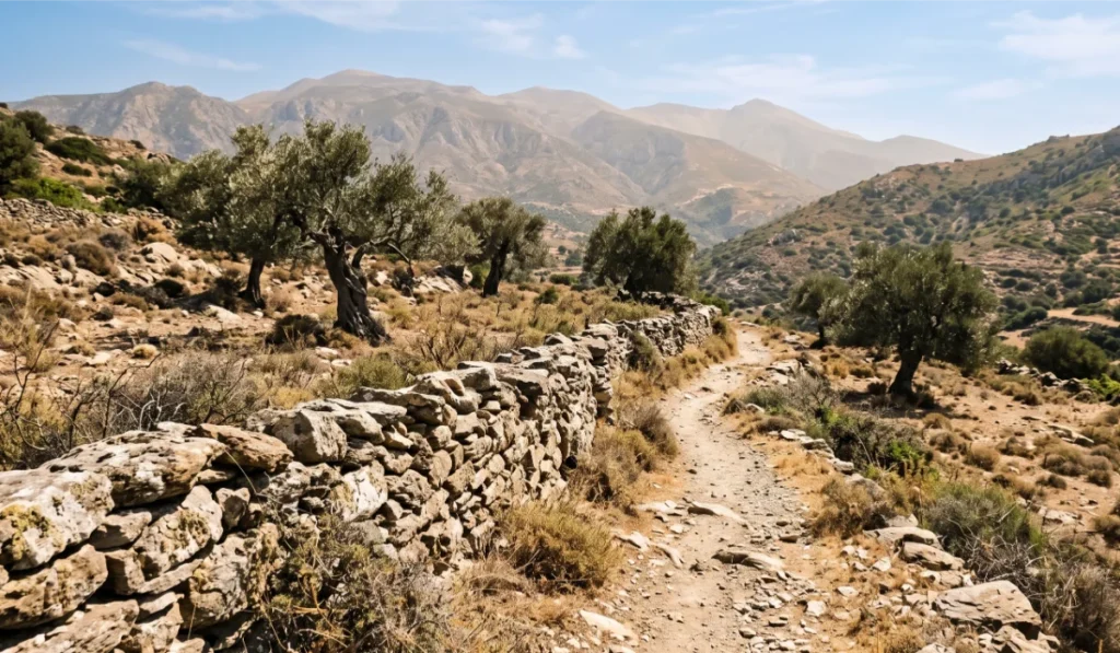
Hiking Naxos Greece goes well beyond Mount Zas. The Tragaea Valley, the olive-covered central plateau between Chalki and Moni, is one of the most beautiful walking areas in the Cyclades.
The Chalki to Moni cultural route takes two to three hours through ancient olive groves and Byzantine chapels, including the sixth-century Panagia Drosiani church, which contains some of the oldest frescoes in Greece. Easy, well-shaded, suitable for most fitness levels.
The Melanes to Flerio Kouros trail is around one hour and entirely flat. It ends at an ancient marble quarry where two unfinished Kouros statues lie in the hillside. They have been there for 2,500 years, left when the marble cracked during carving. The scale of them, seen up close, is genuinely surprising.
The Ano Potamia to Kato Potamia river trail follows a stream through fruit orchards and past old water mills. Shaded throughout. Cool even in summer. In a landscape defined by dry rock and Meltemi wind, it feels like a different island entirely.
The Apeiranthos to Moutsouna route descends from the marble village to the east coast harbour, passing old emery mine workings and ruins of a cable railway. Three to four hours one way. A car shuttle is necessary. Things to do in Naxos covers how to combine these walks with the rest of the island.
Practical Tips: What to Wear, Bring, and Expect
Footwear matters. The Agia Marina route is manageable in trail running shoes. The circular route requires proper hiking boots with ankle support. No flip flops or sandals on any mountain trail in Naxos.
Download offline maps before you go. Google Maps fails on mountain paths in Naxos, regularly identifying cliff paths as driveable roads. Download Wikiloc, Maps.me, or AllTrails routes offline before leaving Chora.
The snake warning is real. Naxos mountains are home to the Vipera ammodytes, a horned viper. Bites are extremely rare but the snake exists. Stay on the trail. Do not step in long grass. No open shoes.
Carry more water than the estimate. The only source on the circular route is the Aria Spring at the trailhead. After that, nothing until Filoti. Two litres per person minimum for the full circular.
Rent a car to reach the trailheads. The KTEL bus does not serve Danakos or Filoti reliably for an early start. Renting a car in Naxos means a six in the morning departure and the trailhead before the heat builds.
Get an eSIM before you arrive. GPS apps need data to load trail maps. An active eSIM for Greece lets you download trail data before you step off the ferry.
Best Time of Year for Hiking in Naxos
Spring, April and May, is the best season for hiking in Naxos Greece. Mountain slopes are covered in wild flowers and thyme. Temperatures are ideal. The Meltemi has not arrived. If hiking is your primary reason for visiting, April and May are when the island performs best.
Autumn, September and October, is the second window. Summer heat has broken, the sea is still warm, and the trails are quieter. The light on the ridge walks is different in a way that is harder to explain than to experience.
Summer, July and August, requires strict timing. Hiking on Naxos in summer must happen before nine in the morning or after five in the afternoon. Between midday and four, exposed ridgelines reach temperatures and UV levels that create genuine risk of heatstroke. This is a specific constraint, not a general caution.
Winter, November to March, brings unpredictable weather and reduced bus services. Mount Zas is achievable on clear days for experienced walkers. The infrastructure around it does not support winter hiking the way spring and autumn do. For where to stay in Naxos, the full hotel guide covers every area. Best beaches in Naxos Greece is the natural next read after a morning hike. And Naxos vs Paros covers how the two islands compare for active travellers.
FAQ
Is hiking in Naxos Greece suitable for beginners? The classic Agia Marina route up Mount Zas is suitable for most walkers with reasonable fitness. It is moderately steep, well-marked, and takes two and a half to three hours return. Village trails in the Tragaea Valley are easy and open to all levels.
Do I need a guide for the Mount Zas hike? Not for the classic Agia Marina route. The trail markings are clear. For the circular route, a guide is strongly recommended. The path after the Zas Cave becomes steep and markings thin out. Book a guided Mount Zas hike here.
What should I bring hiking on Naxos? Proper hiking boots, at least two litres of water per person for the full circular route, sunscreen, a hat, and offline maps downloaded before leaving. Download Wikiloc or AllTrails routes offline. Google Maps is unreliable on mountain trails.
When is the best time to hike in Naxos? April and May for spring conditions. September and October for cooler weather. In July and August, hike only before nine or after five. Midday hiking on exposed ridgelines is genuinely dangerous in summer.
How do I get to the Mount Zas trailhead? The classic trailhead is at Agia Marina chapel in Danakos village. The circular route starts in Filoti. Neither is served reliably by KTEL for an early start. Renting a car in Naxos is the most practical option. How to get to Naxos covers ferry schedules for getting to the island first.