Mürren to Gimmelwald Hike: Trail Map & Walking Guide (2026)
The Murren to Gimmelwald hike is one of the most popular walks in the Bernese Oberland. Most people do it wrong. They take the paved service road, spend 30 minutes on asphalt with no shade, and wonder what the fuss is about. There is a second route. It goes through the forest, behind a waterfall, and across an exposed ridge. My cousin and I took it on our second day in the area. It is completely different.
Quick Info
| Info | Details |
|---|---|
| Route 1 (Paved Road) | 2.1 km, ~30 min, easy, full sun |
| Route 2 (Adventure Trail) | ~4 km, ~1h 45min, moderate, forest and waterfall |
| Elevation descent | ~270 metres (Mürren to Gimmelwald) |
| Sprutz Waterfall route | Spielbodenalp via forest path, behind the falls |
| Via Ferrata option | 2.2 km, K3 difficulty, 1 June to 31 October |
| Via Ferrata gear hire | Intersport Mürren |
| Paragliding tour | Mürren: Paragliding Panorama Tandem Flight |
| Guided Lauterbrunnen walk | Lauterbrunnen Private Walking Tour |
| Car rental | Compare options here |
| eSIM | Switzerland eSIM |
The Classic Mürren to Gimmelwald Walk
There are two ways to complete the murren to gimmelwald hike. Most visitors take the first without knowing the second exists.
Route 1: The Paved Service Road
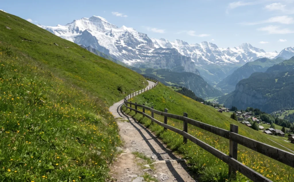
The paved road runs 2.1 kilometres from Mürren directly down to Gimmelwald. It descends around 270 metres. Allow about 30 minutes at a comfortable pace.
The road is easy. Too easy, honestly. It is a service track used by tractors and maintenance vehicles. No shade for most of the route. Full sun on a clear summer afternoon makes it tiring. Children with pushchairs and travellers with luggage do fine here. Hikers looking for a trail experience will feel short-changed.
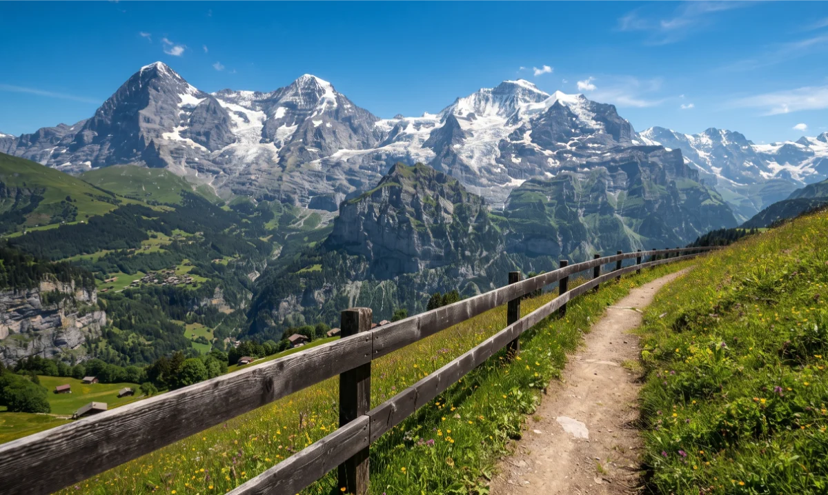
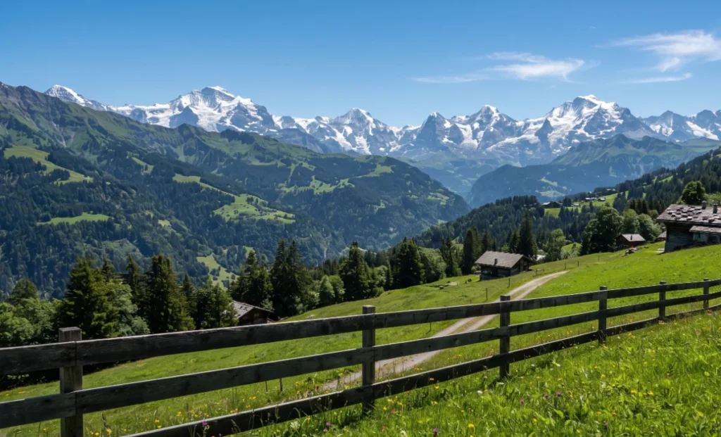
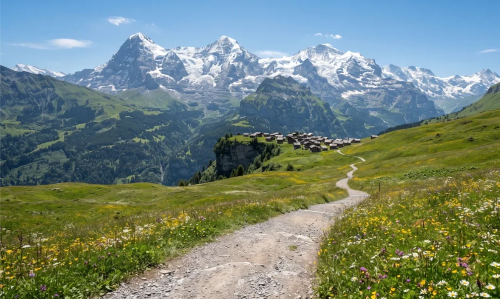
That said, the views are open the whole way down. The Lauterbrunnen Valley spreads below. Across the void, the Eiger, Mönch and Jungfrau. Dull road, extraordinary panorama.
Route 2: The Sprutz Waterfall and Spielbodenalp Trail
This is the murren to gimmelwald hike route worth talking about. Leave the paved road shortly after Mürren. Follow the southwest path into the forest. The trail drops to Spielbodenalp, a small alpine meadow with a wooden café. A cheese stop here makes sense.
From Spielbodenalp, the path enters dense pine forest. The trail becomes steeper and rougher. It leads directly behind the Sprutz waterfall, through a tunnel carved into the rock face. The waterfall roars on the other side of the stone. Rock behind the falls is wet and slippery. High-grip hiking boots are essential. Trekking poles help on the descent.
My cousin went first through the waterfall tunnel. She came out the other side completely soaked from the spray and absolutely not bothered by it. I was slightly more cautious. The path is narrow and the rock is slick. Take it slowly and it is fine. It is also the best 10 minutes of the entire hike.
Beyond the falls, the trail opens onto the Wasenegg ridge for those wanting extra distance. The ridge offers 360-degree views of the Sefinen valley and the full Eiger-Mönch-Jungfrau massif. Almost no one else is up there. From Wasenegg, the path descends steeply back through the forest to Gimmelwald. The final section is loose underfoot in places. Take it slowly and you arrive in the village feeling like you earned it.
Total trail time for the Sprutz route: around 1 hour 45 minutes. Distance: approximately 4 kilometres.
The Descent: Gimmelwald to Stechelberg Hike
Once in Gimmelwald, you have options. Continue down to Stechelberg if you want a full day on the trail. Alternatively, take the cable car.
Gimmelwald to Stechelberg on Foot
The descent from Gimmelwald to Stechelberg takes around 45 to 60 minutes on foot. Steep and mostly unpaved. It drops around 500 metres in elevation. Good footwear is important. The lower section follows the valley floor with the Sefinen stream alongside.
Stechelberg sits at the base of the Schilthornbahn cable car system. From Stechelberg, the car park, the PostBus, and the return journey are all accessible. If your legs are done, the cable car from Gimmelwald to Stechelberg takes 4 minutes and costs around CHF 10.
The Via Ferrata Alternative
Between Mürren and Gimmelwald, a different kind of descent exists. The Via Ferrata Mürren-Gimmelwald runs 2.2 kilometres along fixed iron cables, steel ladders, and rope bridges across the cliff face. Some sections cross bridges hanging 600 metres above the valley floor.
The route is rated K3, intermediate difficulty. It requires a harness, helmet, and via ferrata lanyard set. Gear hire is available at Intersport in Mürren. The route runs from 1 June to 31 October when weather permits.
Some sections cross suspended steel cable bridges 600 metres directly above the valley floor. The route also passes above the Mürrenbach stream, a base jump platform used by experienced jumpers, and a zip line section near the end. Entry to the route is free. You only pay for gear hire. Guided tours in 2026 cost CHF 179 per person for groups of 4 to 8, or CHF 790 fixed for a private group of up to 4.
Allow an hour for gear fitting and briefing before you start. First-timers should consider a guided session for safety and technique.
For a guided high-altitude experience in the region, the Mürren: Paragliding Panorama Tandem Flight gives you the full Lauterbrunnen-Mürren-Gimmelwald aerial view that puts every trail route into perspective.
Practical Tips
Choose your route before you start. The paved road suits families, those with luggage, and anyone who wants an easy walk with open views. The Sprutz waterfall trail suits confident hikers who want the real experience. Both start from the same point in Mürren.
Start early. The Sprutz waterfall trail gets busy after 10 am in July and August. Starting before 8 am puts you through the forest and behind the falls before the main crowd arrives. The morning light in the forest is also noticeably better for photography.
Wear proper footwear. Sports shoes are adequate for the paved road. The Sprutz route requires ankle-support hiking boots. The rock behind the waterfall is consistently wet and slippery regardless of weather.
Start in Mürren, finish in Gimmelwald. The trail is designed as a descent. Going uphill from Gimmelwald to Mürren on the adventure trail is significantly harder and takes considerably longer. If you plan to return to Mürren after the hike, take the cable car back up. Your legs will thank you.
Getting to Mürren. The Lauterbrunnen-Grütschalp cable car line is closed from 13 April to 10 July 2026. During that period, access to Mürren via Stechelberg cable car is the only option. For the full logistics, How to Get to Gimmelwald: The Ultimate Cable Car & Train Guide covers every route.
Driving to the trailhead. Park at Stechelberg, take the cable car to Mürren, hike down to Gimmelwald, then cable car back to your car. Compare car rental options here if you are driving from Interlaken or Zurich.
Stay connected. Signal on the trail can drop in the forest section. Pick up an Airalo eSIM before leaving home. It activates on arrival in Switzerland and covers the valley and village areas.
FAQ
Planning the Hike
How long does the Mürren to Gimmelwald hike take? The paved service road takes around 30 minutes. Via Spielbodenalp and the Sprutz waterfall tunnel, allow around 1 hour 45 minutes. Allow 1.5 to 3 hours on the Via Ferrata depending on pace and experience. All three routes cover roughly the same descent from Mürren to Gimmelwald.
Is the Mürren to Gimmelwald walk difficult? The paved road is easy. Flat gravel surface, minimal technical challenge, suitable for most fitness levels. The Sprutz route is moderate: forest paths, some scrambling, and a slippery tunnel behind the falls. Ankle-support boots are essential. The Via Ferrata is technical and requires proper equipment and experience.
Which route should I take from Mürren to Gimmelwald? Take the Sprutz waterfall route if you are a confident hiker with proper boots. It is significantly more interesting than the road. Take the paved road if you have children, luggage, or limited footwear. Both end in Gimmelwald. For a village comparison before you decide where to stay after the hike, Gimmelwald vs Mürren vs Grindelwald: Which Alpine Village is Best? covers every difference.
Gear and Safety
What should I wear for hiking in Gimmelwald? Ankle-support hiking boots for the Sprutz route or anything off the paved road. Lightweight waterproof jacket. Weather in the Alps changes fast and the waterfall tunnel is always wet. Trekking poles help on steep descents. Sunscreen and water are essential in summer.
Is the Via Ferrata between Mürren and Gimmelwald safe? Yes, with the right equipment and preparation. The route is rated K3, intermediate difficulty. A harness, helmet, and via ferrata lanyard set are required. Hire gear at Intersport in Mürren. First-time via ferrata hikers should consider a guided session. The route runs 1 June to 31 October weather permitting.
Where do I stay after the murren to gimmelwald hike? Gimmelwald is the natural endpoint. Where to Stay in Gimmelwald: Best Alpine Lodges & Boutique Stays covers every option from the legendary hostel to family-run guesthouses. For what to do once you arrive, Is Gimmelwald Worth Visiting? Things to Do in One Day has a full activity guide.